Dear colleagues,
It is my great pleasure to introduce Dr. Peter Mooney as our GeoAmbassador. Peter Mooney received his PhD in Computer Science in 2004 from Maynooth University. The topic of his PhD research was on shortest path optimisation. For the next number of years he worked with the Irish Environmental Protection Agency as a Research Fellow. During this time he began working in the areas of FOSS4G, Open Data and Volunteered Geographic Information (VGI). Indeed Peter has been actively working as a researcher in the area of VGI and Citizen since 2009. With the EPA he has worked as a web developer, database administrator and more recently as a software developer for the National Ambient Air Quality network.
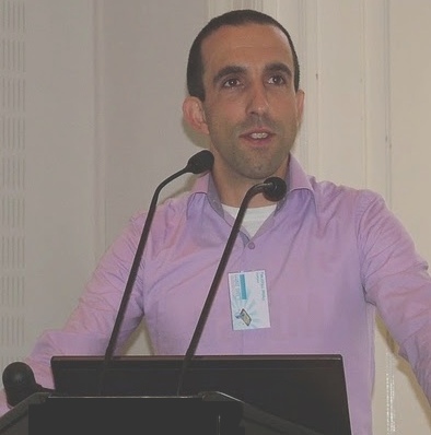
Dr Peter Mooney
In 2015, Peter took up a temporary position as lecturer in Computer Science at Maynooth University and in early 2017 he was appointed as a tenure track lecturer. In the summer of 2015 he became the European Co-Chair of GeoForAll with Prof. Maria Brovelli. Peter led a strong Irish proposal to host the global FOSS4G 2016 conference in Dublin but narrowly missed out to the fantastic Bonn FOSS4G 2016 bid. With colleagues in 2017 he is working to establish the first Irish OSGeo Local chapter. At the end of May this year there will be the first Irish OSGeo event with the 1st Irish OSGeo Symposium [1].
Peter is involved in many key activities. Summary of current activities below
– establishment of the first Irish OSGeo Local chapter
– co-editor on a number of special issue journals on Volunteered Geographic Information and Citizen Science namely [2] [3] [4]
– OSGeo Rebranding project – Peter has volunteered to give input from an academic perspective, making sure the website/rebranding supports the work we do with GeoForAll. He will also be providing a perspective from OSGeo local chapters.
– Data Quality Working Group Co-chair for the European COST Action “Citizen Science to promote creativity, scientific literacy, and innovation throughout Europe” [6]
– Recently co-chaired a very successful international workshop on Crowdsourcing in National Mapping [7]. Peter is passionate in his research and advocacy of VGI usage by government organisations and for use in policy making at a regional, national and international level
– Peter teaches on an MSc in Geocomputation in the university on topics such as web-based mapping (Leaflet and OpenLayers) and spatial databases (PostgreSQL PostGIS)
– In Peter’s other teaching activities to undergraduate and postgraduate courses he focuses on always using open source software and open data. For example in teaching Database Technologies to undergraduates he uses PostgreSQL and uses openly accessible data from sources such as OpenStreetMap for the purposes of examples.
– He encourages all of his research students to use the OSGeo Live Lubuntu O/S distribution for their work.
– His own research work focuses on developing methods to assess the quality of VGI and CS data, emphasis their usability and fitness for purposes, and the use of FOSS4G and OpenData as complimentary/ integrable components to official or authoritative processes.
We are proud to honour Peter Mooney as our GeoAmbassodor and we are extremely grateful for his contributions to Geo for All and this selfless contributions for expanding geoeducation opportunities for all.
Best wishes,
Suchith
[1] https://wiki.osgeo.org/wiki/Ireland/Symposium2017
[2] http://www.mdpi.com/journal/ijgi/special_issues/Geospatial_Big_Data_Urban_Studies
[3] http://explore.tandfonline.com/cfp/est/tgis-cfp-geospatial-data-2q2017
[4] http://explore.tandfonline.com/cfp/est/gsis/si3
[5] http://www.osgeo.org/marketing/rebranding.html
[6] http://www.cost.eu/COST_Actions/ca/CA15212
[7] http://www.cs.nuim.ie/~pmooney/eurosdr2017/