Dear Colleagues,
We started the New year with University of Pretoria (South Africa) as the lab of the month (Jan 2016) and we had a new year wish that we are hopeful that the momentum created by our colleagues in Pretoria will spread across Africa and benefit hundreds of students in the future. So it is also my great pleasure to introduce our colleagues at the Regional Centre for Mapping of Resources for Development (RCMRD) in Nairobi, Kenya as our “Geo4All” Lab of the Month in April 2016 who are exactly doing this great contribution by helping spread geoeducation opportunities not only for Kenya but throughout Africa.
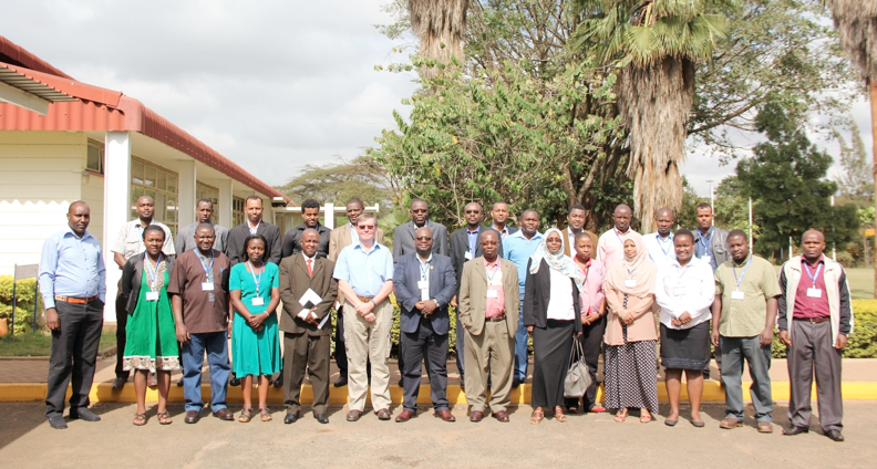
The Regional Centre for Mapping of Resources for Development (RCMRD) was established in Nairobi, Kenya in 1975 under the auspices of the United Nations Economic Commission for Africa (UNECA) and the African Union (AU). RCMRD is an inter-governmental organization and currently has 20 Contracting Member States in the Eastern and Southern Africa Regions; Botswana, Burundi, Comoros, Ethiopia, Kenya, Lesotho, Malawi, Mauritius, Namibia, Rwanda, Seychelles, Somalia, South Africa, South Sudan, Sudan, Swaziland, Tanzania, Uganda, Zambia and Zimbabwe. RCMRD’s mission is to promote sustainable development in the member States through generation, application and dissemination of geo-information and allied ICT technologies, products and services. Since establishment, they have been very instrumental in capacity building in resource survey, mapping, remote sensing, GIS and natural resources assessment and management in Africa. It was also instrumental in helping different countries establish their National Mapping Agencies.
Annually, RCMRD trains about 1000 technical officers from its member States and African countries in the fields of surveying and mapping, remote sensing, GIS and natural resources assessment and Management. RCMRD also implements projects on behalf of its member States and development partners. It just shows the huge impact they are making to knowledge advancement across Africa. I was especially impressed to know about their Regional Training of Trainers Programme on Integration of Land Tenure Monitoring in Development Projects Using Geo-Spatial Technologies which is a key transformation that the 2030 Development Agenda needs to achieve. Many of the poorest and food insecure groups are those with the most insecure land tenure rights, including the female headed households, orphans, migrant farm workers, peri-urban slum dwellers, and the internally displaced persons. The Training of Trainers workshop is set to track whether investments in land tenure interventions are effective in the framework of creating advocacy for promoting investments to strengthen tenure security (see details below).
I would like to thank Gerald Omondi who emailed me a summary of their activities which I am including in this article, so you get the big picture of their various training and development activities.
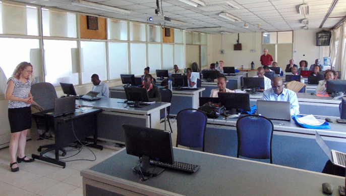
RCMRD holds Thematic Training for Forest Monitoring and Land Degradation
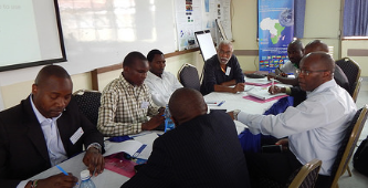
The Regional Centre for Mapping of Resources for Development (RCMRD) and IGAD Climate Prediction and Applications Centre (ICPAC) within the framework of the Monitoring for Environment and Security in Africa (MESA) held a two-week thematic training for forest monitoring and land degradation assessment from 29th February to 11th March, 2016 in Nairobi, Kenya. The participants were drawn from 10 African countries in the Eastern African region. The forest monitoring and land degradation assessment training covered the development of the forest monitoring and land degradation services and products using satellite data and is incorporating the use of Geographic Information System and Remote Sensing Opensource software applications in developing the MESA forest monitoring services and products.
Read more about MESA here http://www.rcmrd.org/mesa/
RCMRD becomes the 1st Organization in Africa to Provide Sentinel 2 Data for 10 Countries
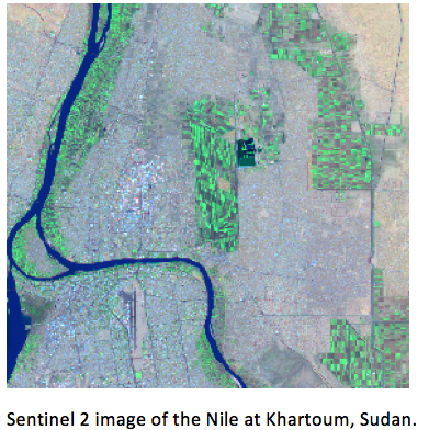
The Regional Centre for Mapping of Resources for Development (RCMRD) and IGAD Climate Prediction and Applications Centre (ICPAC) within the framework of the Monitoring for Environment and Security in Africa (MESA) is holding a two-week thematic training for forest monitoring and land degradation assessment. In this context, participants from 10 countries got the opportunity to process Sentinel 2 data for their own regions. The Sentinel 2 satellite is financed by the European Union and launched and operated by the European Space Agency. The Sentinel 2 satellite mission provides data at 10m and 20m for land cover mapping in different spectral channels, 13 in all. It currently has a revisit period of 10 days. When Sentinel 2 satellite will be joined by Sentinel 2b in 2017, the revisit period will be every 5 days.
The European Commission’s Joint Research Centre (JRC), with whom RCMRD has a long standing cooperation and a Memorandum of Understanding, provided the technical support to process the data. JRC provided training on their open-source image processing software, IMPACT. The software, originally designed to provide a rapid processing of Landsat data, has been modified to process Sentinel 2 data from the raw data files provided on the ESA web site, through to classified images, which can be used in GIS. Given the restrictions of data download in a number of countries, Sentinel data is difficult to access, with data files of close to 6 Gb. JRC aims to set up an online user interface where partner countries can select images and order a ‘light’ version so as to reduce downloading time. The interface will contain data held both at JRC and RCMRD.

Sentinel 2 images of Sudan being processing in the JRC IMPACT tool.
http://www.rcmrd.org/rcmrd-becomes-the-1st-organization-in-africa-to-provide-sentinel-2-data-for-10-countries/
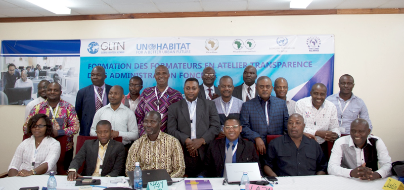
Regional Training of Trainers Programme on Integration of Land Tenure Monitoring in Development Projects Using Geo-Spatial Technologies
There is an inextricable link between land access, tenure security on one hand, and investment, income/food security on the other. This is one key transformation that the 2030 Development Agenda needs to achieve. Many of the poorest and food insecure groups are those with the most insecure land tenure rights, including the female headed households, orphans, migrant farm workers, peri-urban slum dwellers, and the internally displaced persons.
The Regional Centre for Mapping of Resources for Development (RCMRD) will host the regional Training of Trainers Programme on Integration of Land Tenure Monitoring in Development Projects Using Geo-Spatial Technologies from 3rd to 13th April, 2016. The Training of Trainers workshop is set to track whether investments in land tenure interventions are effective in the framework of creating advocacy for promoting investments to strengthen tenure security.
The overall objective of this Training of Trainers is to strengthen skills and knowledge land tenure monitoring and evaluation using Opensource geo-spatial technologies. The training will equip up stream change agents with relevant knowledge about land tenure monitoring data collection, storage, analysis and reporting systems.
http://www.rcmrd.org/wp-content/uploads/2016/03/ToT_Call-For-Applications_2016.pdf
RCMRD Hosts the Open Source Geospatial Data Processing For REDD+ Applications Workshop
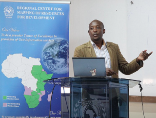
The “Open source Geospatial data processing for REDD+ Applications” workshop began at the Regional Centre for Mapping of Resources for Development (RCMRD) and was officially opened by Dr. Hussein Farah, the Director General of RCMRD.
The technical training workshop is being conducted as part of a NASA-SERVIR funded project “Forest carbon assessment for REDD+ in the East Africa SERVIR region.” The participants will be introduced to data processing with the “R” software package, focusing on processing spatial data for forest and carbon monitoring and mapping in the context of REDD+.Recently, “R” has been important in providing many spatial data processing functions that allows for the access of advanced data processing algorithms often unavailable in any other software.At the conclusion of the workshop, participants will know the importance of using “R” and many of the spatial data processing functions, and will be able to learn more as new capabilities are added to the changing “R” data processing archive.
Kibuga Dominic and Asiimwe Eden Sarah, participants representing Uganda Bureau of Statistics (UBOS), are expecting to have the capacity to use “R” for Statistical analysis and geospatial data processing after the workshop. On the other hand, Abel Siampale from the Forestry Department, Zambia, is looking forward to learning the application of “R”, interacting with participants from different areas, and sharing the gained skills.
Open principles in geoeducation (open educational resources, free and open software, open data, open standards, etc.) are key for true empowerment of staff and students globally and for making geospatial education and opportunities accessible to all. Access to quality education and opportunities is key for getting rid of extreme poverty and enabling broadly shared prosperity for all. It is very important to have open source GIS and standards-based solutions (OGC, ISO TC 211) to achieve widespread application of geotools at a grassroots level, especially in developing countries. Open source GIS provides accessibility, low cost solutions, and lowers the entry barriers for the use of geospatial technologies for all.
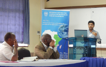
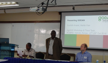
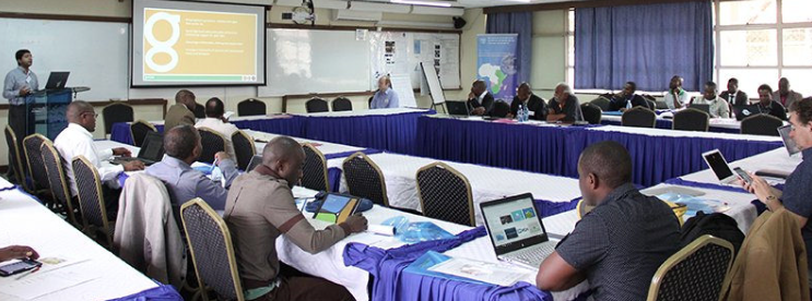
AgriGIS Workshop and Think Tank
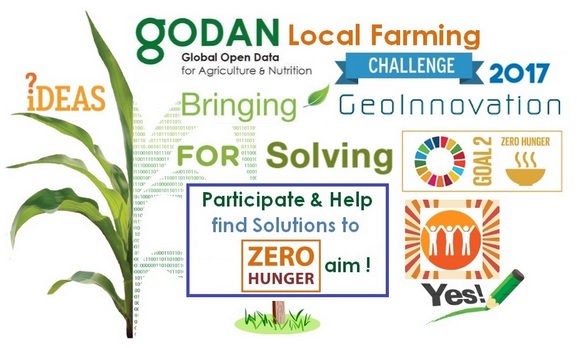
The University of Nottingham, the Regional Centre for Mapping of Resources for Development (RCMRD) , the Global Open Data for Agriculture and Nutrition (GODAN) [3] and Crops for the Future (CFF) are pleased to announce the AgriGIS Workshop and Think Tank meetings to be held RCMRD, Nairobi, October 27-28, 2016.
Details at https://www.nottingham.ac.uk/grace/events/eventsarticles/agrigis-workshop-and-think-tank-kenya.aspx
On behalf of the Geo4All community, we thank Dr. Hussein Omar Farah (Director General, RCMRD )and all colleagues at the Regional Centre for Mapping of Resources for Development in Nairobi for their help and for their contributions to the Geo4All initiative globally.
Best wishes,
Suchith Anand