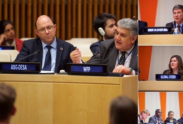
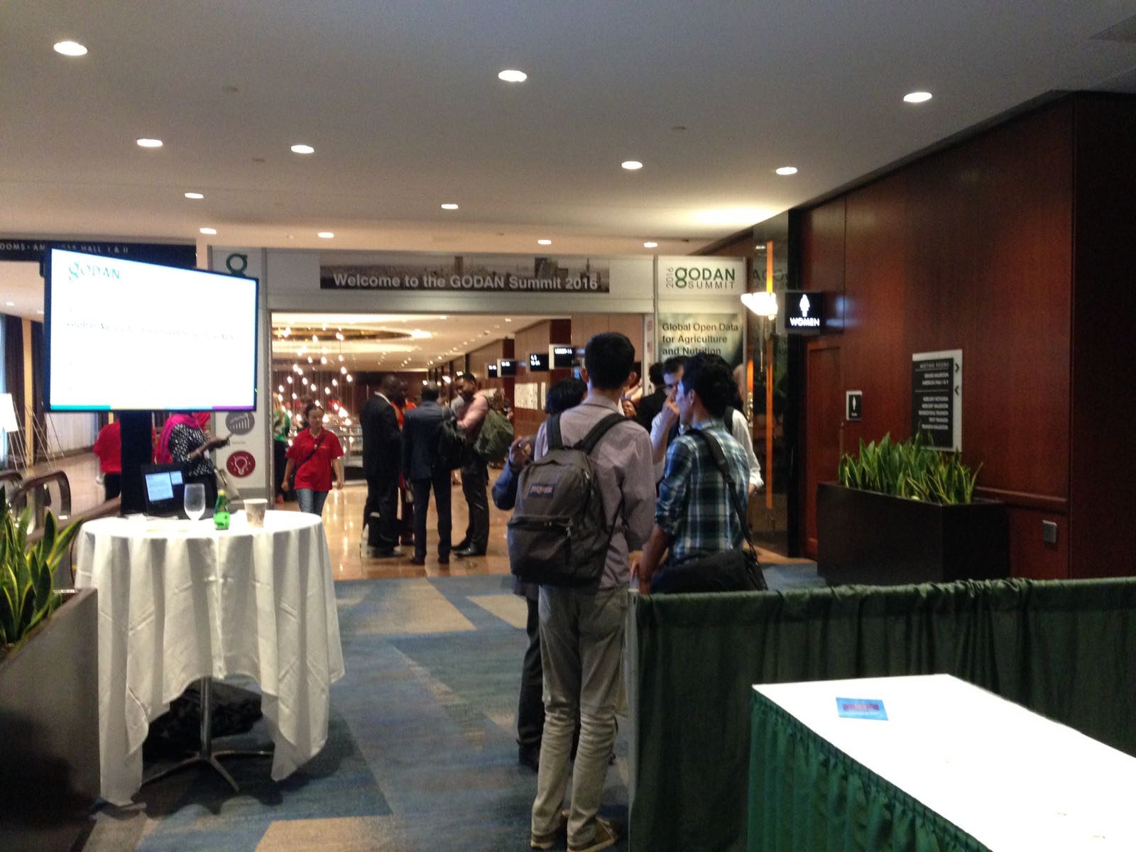
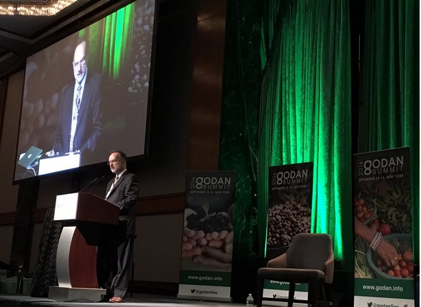
Last month i was very fortunate to be invited to the GODAN 2016 summit . I am very grateful for getting this amazing opportunity to meet like minded colleagues from across the world and share ideas for the future. GODAN Summit 2016 [1] was the largest-ever event dedicated to open data and agriculture and took place on the margins of the UN General Assembly in New York (Sep 15-16). The aim is to urge world leaders to open their national datasets on agriculture and nutrition to help bring hunger around the world to an end. Experts from around the world have gathered to discuss opening vital data on agriculture and nutrition to millions who don’t have access. We are convinced that the solution to eliminating hunger lies within existing, but often unavailable, agriculture and nutrition data.
GODAN (Global Open Data for Agriculture and Nutrition) “supports the proactive sharing of open data to make information about agriculture and nutrition available, accessible and usable to deal with the urgent challenge of ensuring world food security.” This is a mission very dear to my heart and i am pleased to get the opportunity to meet like minded colleagues from across the world and share ideas.
The summit began with the plenary opening session with welcome by Andre Laperriere ( Executive Director, GODAN) and then contributions by excellent speakers such as Kerry Kennedy ( President, Kennedy Human Rights),Kate Van Waes, ( ONE Campaign), Willy Bett (Minister of Agriculture, Kenya ) , Judith Rowland, (Global Citizen) and many others which set the direction of the event.
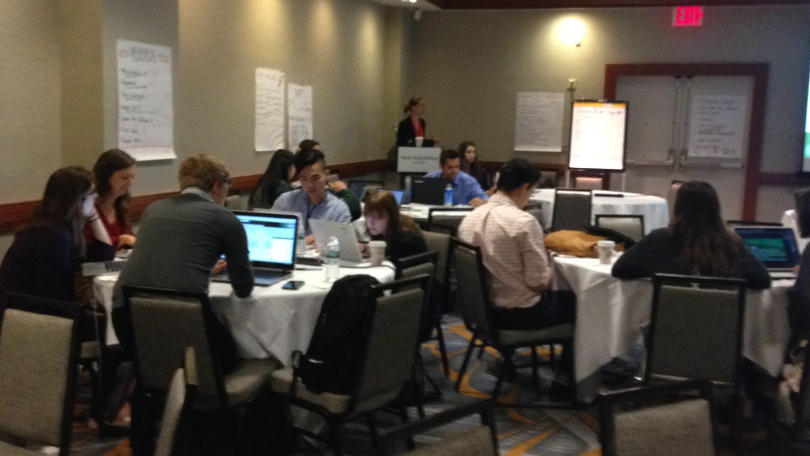
In addition to the plenary sessions, there were many parallel sessions from precision agriculture to Open Data Sandbox! I would like to thank all the speakers and the session organisors of each of these sessions who all worked hard to make this event a great success. I was very impressed with the work done by all the student teams who participated in the GODAN Open Data Hackathon. Thanks to the session organisors Briony Phillips and Edward Silva .
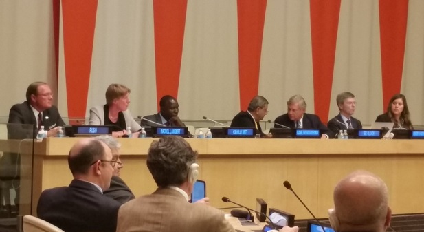
I contributed to the research discussion session on Open Research Data . My thanks to Ben Schaap for this excellent organisation of this session which brought together an excellent panel to discuss ideas around Research data . Thanks to Barend Mons (Chair of European Open Science Cloud) Ruth Bastow (Executive Director, Global Plant Council), Imma Subirats Coll (FAO of the United Nations), Rebecca Lawrence (Managing Director, F1000), Antonio Jesús Sánchez Padial (Head of Biometrics Service, Instituto Nacional de Investigación y Tecnología Agraria y Alimentaria), Chris Baker (CEO, IPSNP Computing Inc) and all panel members to contributed to the discussions.
I focussed on the need to harness both authoritative data with crowd sourced data. I shared some of our experiences in this and welcomed the wider community inputs. Mobile broadband networks, location-based technologies, sensor-web technologies and cloud computing offer the potentials to develop location independent, sustainable living and to provide flexible and low cost information and services networks, linking individuals and communities in a scale that transcends national boundaries. Rapid developments in positioning, broad-band mobile communications, sensor platforms, sensor-web enablement, spatial search and pervasive computing fundamentally change the access to and use of location-based data for agriculture. However, the necessary multi-disciplinary approach needed to transform raw data and information into useful intelligence and knowledge for scientists is still constrained by disciplinary and organisational silo’s and legacy concepts. Geospatial interoperability and open source standards-based GIS will help deliver holistic solutions in geospatial technologies in AgriGIS by enabling the ready integration of separate location relevant technologies and lowering costs. The expanding range of open source GIS tools will greatly enhance the use of geospatial technologies in agriculture and facilitates the sharing of information across various stakeholders and collaborative work.
I also participated in the Open Data for Africa session. This was very useful for me to share ideas with colleagues from Africa and invite them to the GODAN’s AgriGIS Workshop and Think Tank meetings [1]to be held at RCMRD, Nairobi, Kenya on October 27-28, 2016. Details of how to register for this free workshop and Think Tank at https://opensourcegeospatial.icaci.org/2016/10/agrigis-workshop-and-think-tank-meetings-in-nairobi/
I would like to say my sincere thanks to Andre Laperriere ( Executive Director, GODAN), Martin Parr and the whole GODAN team for the many months of efforts that made this possible. I would like to thank and acknowledge the photos of the summit from various colleagues contributed through GODAN Twitter that i have used for this article. Thank you all.
Let us now all work together on our joint mission to get every government, non-governmental, international and private sector organization to make agriculture and nutrition data available, accessible and usable so that we achevive the United Nations Sustainable Development Goal on End hunger, achieve food security and improved nutrition, and promote sustainable agriculture. So please join the Open Data Revolution to end global hunger and together we can make this possible.
Best wishes,
Suchith
Dr. Suchith Anand
http://www.geoforall.org/
Geo for All – Building and expanding Open Geospatial Science
[1] http://summit.godan.info/
[2] http://www.godan.info/events/agrigis-workshop-and-thinktank


