Our colleagues at the Open Source Geospatial Lab [1] at the University of Zagreb, Croatia have an excellent international seminar series called “GeoStudents for GeoFuture”.
As part of this initiative, two year’s back, i was invited to deliver a lecture series for students of the University of Zagreb entitled “Roles of geodesy and geoinformatic in sustainable development”, along with Prof. Dr. Yerach Doytsher (Faculty of Civil and Environmental Engineering Technion, Israel, the President of the FIG Comission 3) and Prof. Dr. Vladimir Tikunov ( Faculty of Geography, University of M.V. Lomonosov, Moscow, Russia, the President of the ICA Commission “GIS and Sustainable Development” .Details at http://www.geof.unizg.hr/mod/forum/discuss.php?d=335
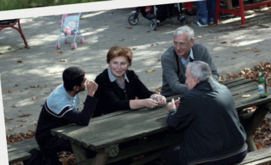 Fig 1 – Me with Prof. Dr. Yerach Doytsher (Faculty of Civil and Environmental Engineering Technion, Israel) and Prof. Dr. Vladimir Tikunov and his wife ( University of M.V. Lomonosov, Moscow, Russia ) .
 Fig 2 – Group photo with colleagues at University of Zagreb, Croatia
I really liked the focus of thier international seminar series on “GeoStudents for GeoFuture” and i am welcoming ideas from the wider geocommunity of how we can extend this “GeoStudents for GeoFuture” ideas to support the International Map Year (IMY) by bringing together key scientists and students globally to work for contributing thier knowledge and skills for the UN sustainable development goals . Openness is key for true empowerment and sustainability [2].
One of the important things i learnt during my lectures to students in universities worldwide (from USA to India), is that the digital natives are very smart. They have a very global outlook and are keen to contribute to building a better world for everyone . I remember talking to a student and asking her what GIS software she uses and her reply was “We use all different platforms to learn GIS but noone can trick us to pay to buy GIS software when there is lot of free and open software now available” . I really liked this reply. This empowerment of students is exactly what we want. It is now not possible for any properitery GIS vendor to put “Iron Curtains” on freedom on education tools.
“Geo for All” aims to create openness in Geo Education for developing creative and open minds in students which is critical for building open innovation and contributes to building up Open Knowledge for the benefit of the whole society and for our future generations.
Best wishes,
Suchith
Dr. Suchith Anand
http://www.geoforall.org/
Geo for All – Building and expanding Open Geospatial Science