Reflections from the Kickoff workshop of the UK-India Joint Network on Sustainable Cities and Urbanisation in India

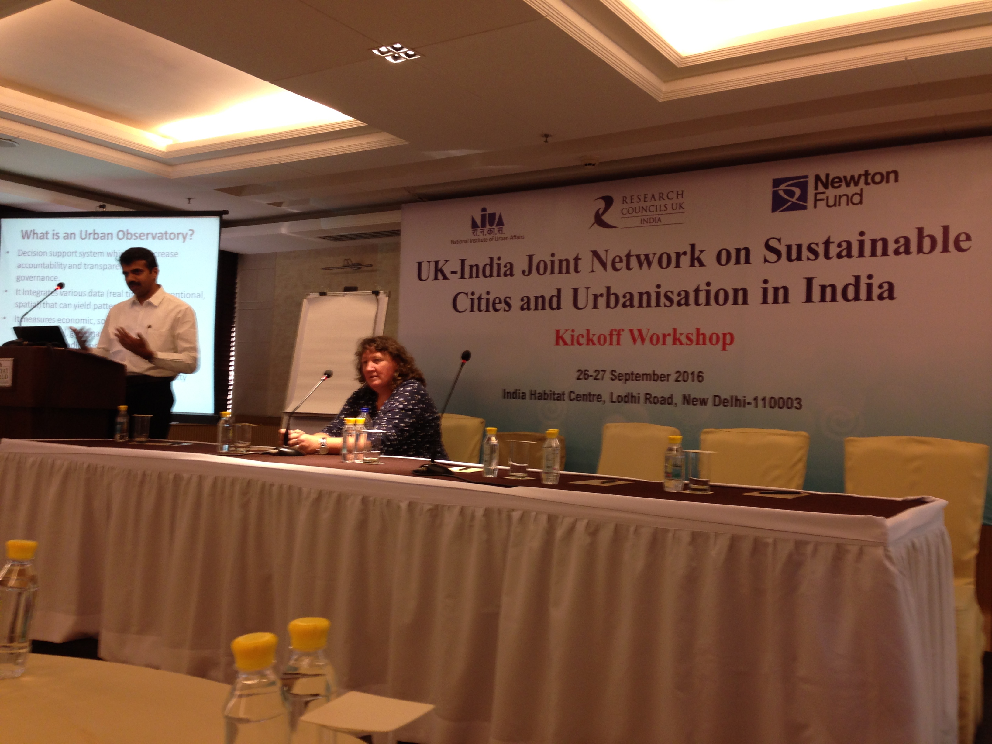
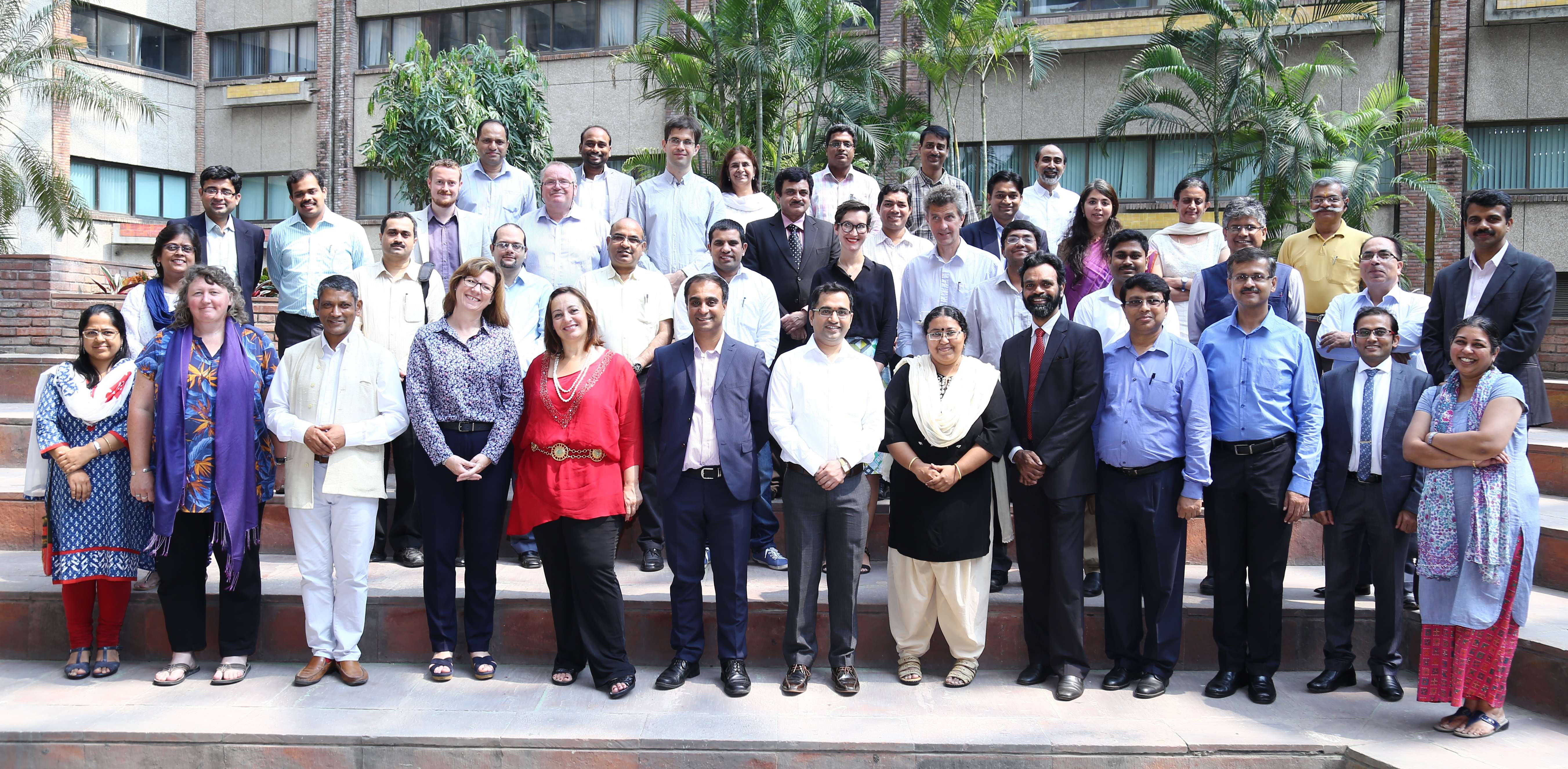
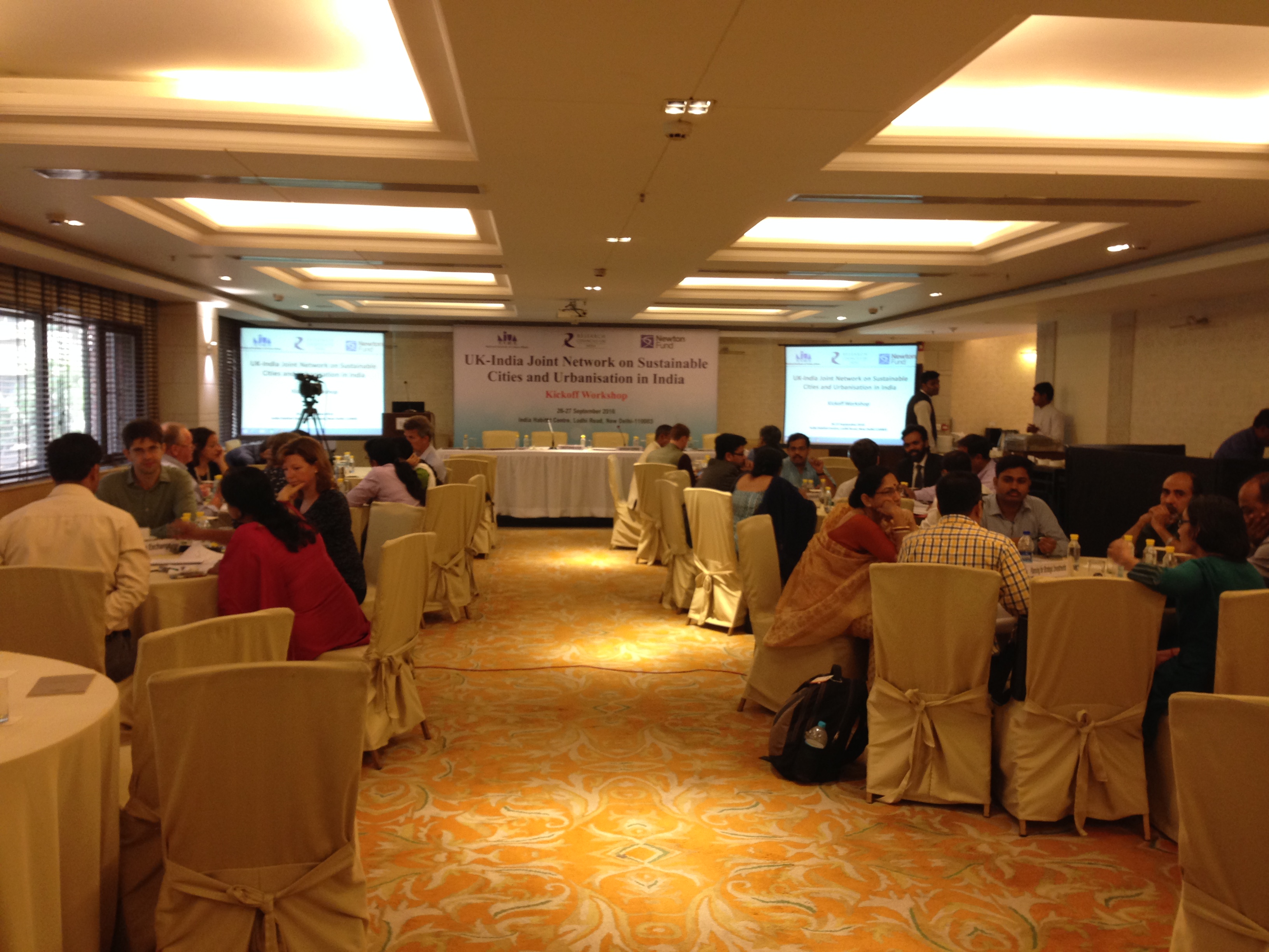
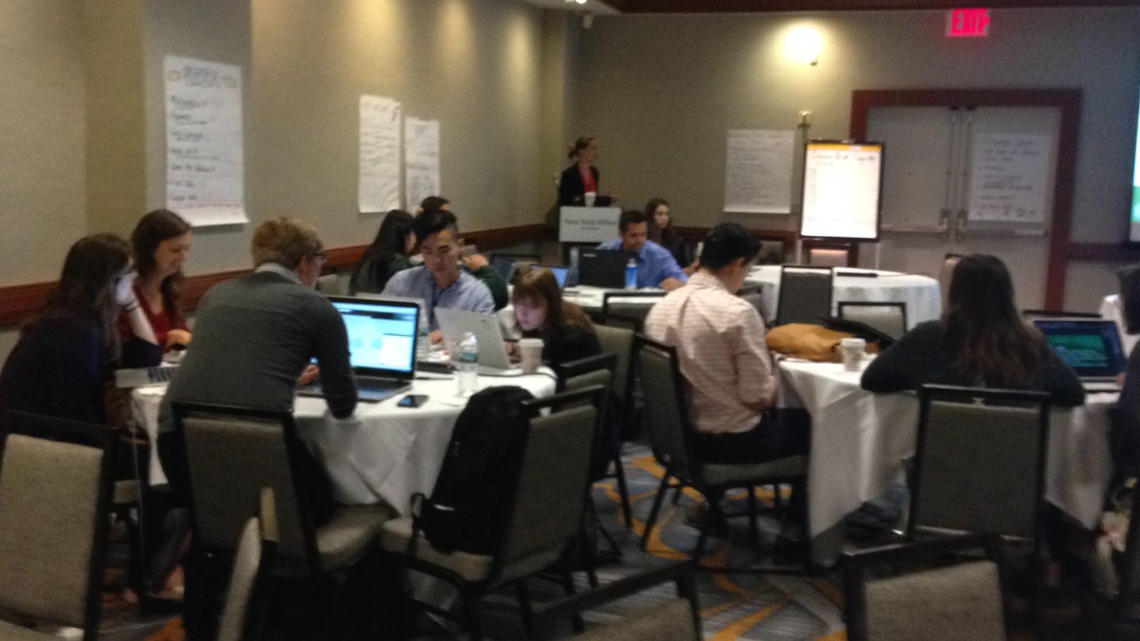
The Kickoff workshop of the UK-India Joint Network on Sustainable Cities and Urbanisation in India was held on 26-27 September 2016 at India Habitat Centre in New Delhi. The main objective of this kickoff meeting was to bring together academia, government organisations, NGOs, industry representatives to discuss ideas and to develop a framework for Urban Observatories relevant to the needs of Indian cities.


delhi1

The RCUK funded SMARt ciTIES  is lead by Professor Michele Clarke (University of Nottingham) and Dr. Ajith Kaliyath (National Institute of Urban Affairs, India) brings together a consortium of multidisciplinary, international researchers with expertise spanning education and social science, cultural heritage and urban planning, science and engineering, ecology and environmental sciences and information technology to develop new collaborative solutions to the multi-layered challenges of rapid urbanisation.

The Network includes leading urban researchers from University of Nottingham, University of Birmingham, University of Southampton, Bishop Grosseteste University College, Loughborough University, Northumbria University, Nottingham Trent University  and University of Surrey from the UK.

From India there are urban researchers from Jawaharlal Nehru University, IIT Delhi, IIT Kharagpur, IIT Roorkee, Indian Institute of Population Studies Mumbai, Indira Gandhi Institute of Development Research Mumbai, Institute for Social and Economic Change, Bengaluru and Tata Institute of Social Sciences, Mumbai from India.

As well as establishing a multi-institutional and interdisciplinary network bringing together Centres of Excellence in the UK and India, the Network will reach beyond academia and engage with innovators, policy makers, industry and civil society.

To help achieve these aims Network will develop the Urban Observatory model in India and catalyzing its adoption in a number of Indian cities. These Observatories will provide relevant, indigenous new knowledge and insights to help implement the Government of India’s Smart Cities Mission, Atal Mission for Rejuvenation and Urban Transformation (AMRUT) and the Housing for All by 2022 Mission [1].

delhi3

The project kickoff meeting on Sep 26th-27th was attended by representatives from all members of the consortium. The meeting started with introduction from Mr. Jagan Shah (Director, NIUA) and Mr. Jeetendra Singh, (Director, NITI Aayog) discussing on Urban Sector-Priorities of Government of India. Nafees Meah, (Director, RCUK India) gave the context of the joint network model following setting the scene by Dr Ajith Kaliyath (Indian Principal Investigator, NIUA) and Prof. Michele Clarke (UK Principal Investigator, University of Nottingham).

delhi2


There were presentations from Dr. Arindam Biswas, IIT Rourkee on Sustainable Habitat under IMPRINT and Possibilities of data driven governance by Poornima Dore (Tata Trusts) in the opening session. This was followed by three main sessions which spanned the two days . Urban Observatories , Use of Big Data in Urban Observatories and Community Engagement with Urban Observatories. Each session had two keynotes to set the scene and the discussions on specific topics . The keynotes byKsenia Chmutina (Loughborough University), Kala Sridhar (ISEC, Bengaluru), Suchith Anand (University of Nottingham), Arkopal Goswami & Bhargab Maitra ( IIT Kharagpur), Christopher Atkin (Bishop Grosseteste University and Arindam Biswas (IIT Roorkee) which brough together sharing of research and ideas .

For the session on Urban Observatories the participants were divided into four groups each looking at a particular challenge i.e Monitoring Urban Dynamics: MDGs to SDGs; Evidence Based Planning/Policies, Data and Indian Cities, Opportunities under National Urban Missions. The teams then presented the summary of the discussions to the whole group .On the final day of the workshop there was consolidation of all the discussions from all the sessions and groups . The summary was presented to the High Level Panel.

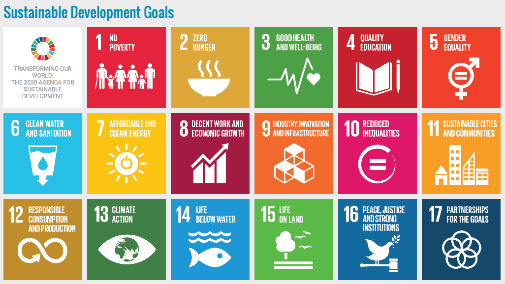
Governments and city planners are increasingly developing city visions which identify long-term goals for IT (connectivity/’smart’ systems/digital services,GNSS), infrastructure (housing /transport /water/waste/energy/goods/food) and development (green growth/livelihood improvements) but urban sustainability is challenged by social (poverty/cohesion/inclusion/diversity), environmental (extreme weather/tectonics/disease outbreaks) and economic (recession/declining labour market/oil price fluctuations) factors which frequently operate on shorter timescales and which can impact severely on cities, urban ecosystems and people. Understanding these challenges at individual city level requires data and information to enable monitoring of cities at multiple scales to improve our understanding of how cities work and to develop an evidence-based approach to identifying novel solutions. The Urban Observatory approach offers a platform to enable data-led regional planning at different temporal and spatial scales. We will work with local government and city administrators, Chambers of Commerce and Metropolitan Development Authorities to collaborate on the creation of new Urban Observatories in these cities, with the aim of harnessing the power of Big Data and geographical information systems. Leveraging the multidisciplinary expertise and experience in the UK-India Network on Sustainable Cities and Urbanisation we will hold planning workshops in each city, which will include members of local society, administration, higher education and the Regional Studies Association India Network. Network members will contribute data, expertise and information to the Urban Observatories and work with the local communities to tailor the information to meet the needs of different stakeholders. This will also aim to link and build synergies with the United Nations Sustainable Development Goal 11 (Sustainable Cities and Communities).
Screen Shot 2016-07-11 at 09.58.00
We thank all participants for their active contributions for the success of this workshop. Special thanks to Ajith and Michele for their efforts and leadership in this. We look forward to building up more ideas and collaborations for our future workshops later this year in India to further expand ideas on Urban Observatories relevant to the needs of Indian cities.


[1]  http://www.rcuk.ac.uk/international/offices/india/indianews/jointnetworksustainablecities/


FOSS4G-ASIA 2017 – Empowering Communities through Open Geospatial Innovation

OSGeo-India is glad to announce the second edition of FOSS4G-Asia organized on 26th-29th January, 2017 at IIIT-Hyderabad, India. The FOSS4G conference series are designed to foster the development and promote the widespread use of open source geospatial technologies.Thanks to our Geo4All colleagues at IIIT-Hyderabad  for hosting the event.

foss4gasia

FOSS4G-Asia extends this movement in Asia and welcomes all GIS communities . The FOSS4G-ASIA 2017 conference aims to provide a forum during three days for wide-ranging discussions on open source geospatial themes and topics. Please consider to submit a presentation proposal. Details at  http://www.foss4g-asia.org/2017/

Students can apply for registration waiver.Submit an Abstract by 25th October . There will be very informative workshop on hands on training which will be announced soon.

It is also good to see the event is close to Geospatial World Forum http://geospatialworldforum.org/ that is taking place in 22-25 January, 2017 at Hyderabad, India, so international speakers can aim to plan both events.

Survey of India will be celebrating its 250th anniversary in 2017, so it is good timing.

Open Principles in Education

I would like to thank the Open Education SIG for the giving me opportunity to share our experiences on building Open Geospatial Science for the benefit of all to support Open Principles in Education.

Webinar recording available at

screen-shot-2016-10-14-at-11-35-18

Abstract at https://opensourcegeospatial.icaci.org/2016/09/open-principles-in-education-building-bridges-empowering-communities/

Slides at http://www.slideshare.net/SuchithAnand/


Reflections from GODAN Summit 2016 – Join the Open Data Revolution to end global hunger

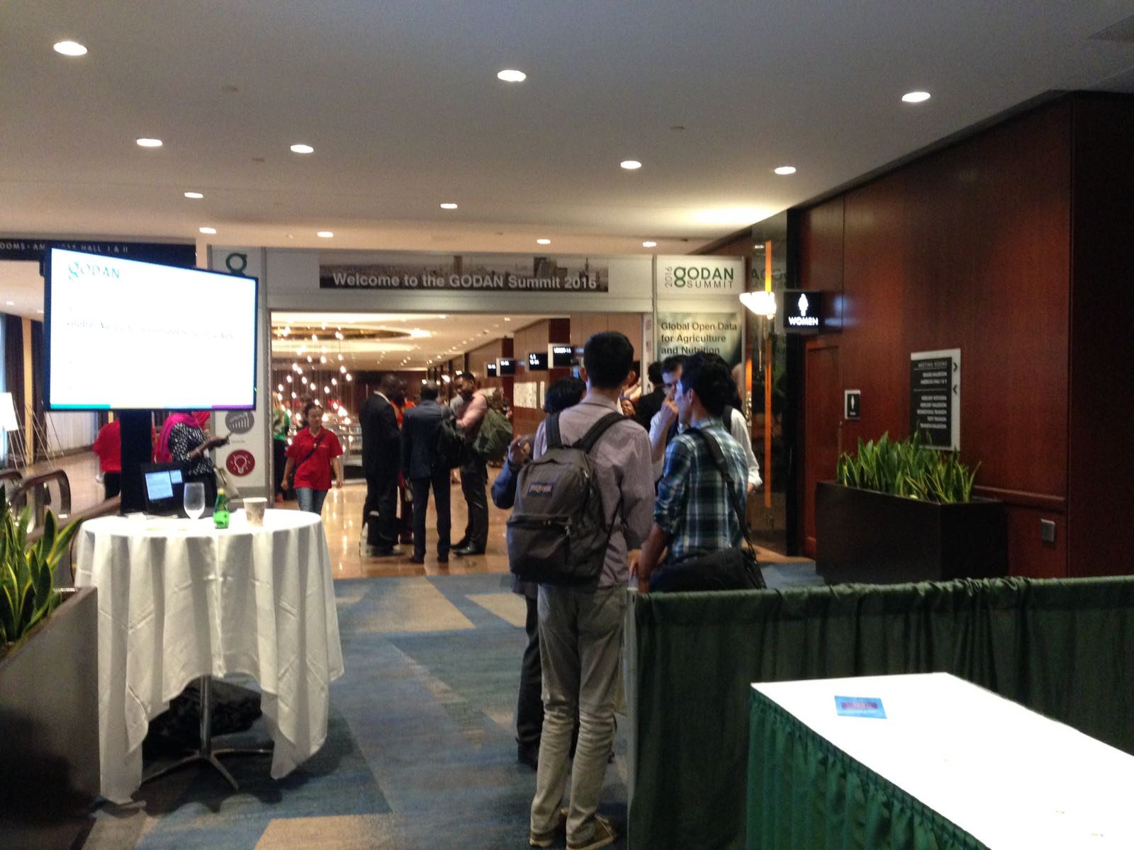
Last month i was very fortunate to be invited to the GODAN 2016 summit .  I am very grateful for getting this amazing opportunity to meet like minded colleagues from across the world and share ideas for the future. GODAN Summit 2016 [1] was the  largest-ever event dedicated to open data and agriculture and  took place on the margins of the UN General Assembly in New York (Sep 15-16). The aim is to urge world leaders to open their national datasets on agriculture and nutrition to help bring hunger around the world to an end. Experts from around the world have gathered to discuss opening vital data on agriculture and nutrition to millions who don’t have access. We are convinced that the solution to eliminating hunger lies within existing, but often unavailable, agriculture and nutrition data.

screen-shot-2016-09-15-at-10-03-28

GODAN (Global Open Data for Agriculture and Nutrition) “supports the proactive sharing of open data to make information about agriculture and nutrition available, accessible and usable to deal with the urgent challenge of ensuring world food security.” This is a mission very dear to my heart and i am pleased to get the opportunity to meet like minded colleagues from across the world and share ideas.

godan1img_5897


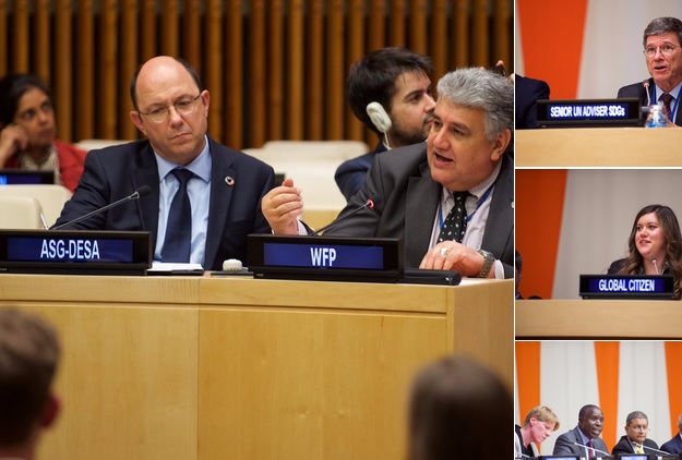
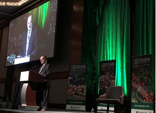
The summit began with the plenary opening session with welcome by  Andre Laperriere ( Executive Director, GODAN) and then contributions by  excellent speakers  such as   Kerry Kennedy ( President, Kennedy Human Rights),Kate Van Waes, ( ONE Campaign), Willy Bett (Minister of Agriculture, Kenya ) , Judith Rowland, (Global Citizen) and many others which set the direction of the event.

godan2

godan3


In addition to the plenary sessions, there were many parallel sessions from precision agriculture to Open Data Sandbox!  I would like to thank all the speakers and the session organisors of each of these sessions who all worked hard to make this event a great success. I was  very impressed with the work done by all the student teams who participated in the GODAN Open Data Hackathon.  Thanks to the session organisors Briony Phillips and Edward Silva .

img_5895

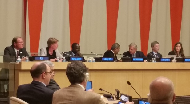
I contributed to the research discussion session on Open Research Data . My thanks to Ben Schaap for this excellent organisation of this session which brought together an excellent panel to discuss ideas around Research data . Thanks to Barend Mons (Chair of European Open Science Cloud) Ruth Bastow (Executive Director, Global Plant Council), Imma Subirats Coll (FAO of the United Nations), Rebecca Lawrence (Managing Director, F1000),  Antonio Jesús Sánchez Padial (Head of Biometrics Service, Instituto Nacional de Investigación y Tecnología Agraria y Alimentaria), Chris Baker (CEO, IPSNP Computing Inc) and all panel members to contributed to the discussions.

img_5896

I focussed on the need to harness both authoritative data with crowd sourced data. I shared some of our experiences in this and welcomed the wider community inputs. Mobile broadband networks, location-based technologies, sensor-web technologies and cloud computing offer the potentials to develop location independent, sustainable living and to provide flexible and low cost information and services networks, linking individuals and communities in a scale that transcends national boundaries. Rapid developments in positioning, broad-band mobile communications, sensor platforms, sensor-web enablement, spatial search and pervasive computing fundamentally change the access to and use of location-based data for agriculture.  However, the necessary multi-disciplinary approach needed to transform raw data and information into useful intelligence and knowledge for scientists is still constrained by disciplinary and organisational silo’s and legacy concepts.  Geospatial interoperability and open source standards-based GIS will help deliver holistic solutions in geospatial technologies in AgriGIS by enabling the ready integration of separate location relevant technologies and lowering costs. The expanding range of open source GIS tools will greatly enhance the use of geospatial technologies in agriculture and facilitates the sharing of information across various stakeholders and collaborative work.

I also participated in the Open Data for Africa session. This was very useful for me to share ideas with colleagues from Africa and invite them to the GODAN’s AgriGIS Workshop and Think Tank meetings [1]to be held at RCMRD, Nairobi, Kenya on  October 27-28, 2016.  Details of how to register for this free workshop and Think Tank at https://opensourcegeospatial.icaci.org/2016/10/agrigis-workshop-and-think-tank-meetings-in-nairobi/

I would like to say my sincere thanks to Andre Laperriere ( Executive Director, GODAN), Martin Parr  and the whole GODAN team  for the many months of efforts that made this possible. I would like to thank and acknowledge the photos of the summit from various colleagues contributed through GODAN Twitter that i have used for this article. Thank you all.

Let us now all work together on our joint mission  to get every government, non­-governmental, international and private sector organization to make agriculture and nutrition data available, accessible and usable so that we achevive the United Nations Sustainable Development Goal on End hunger, achieve food security and improved nutrition, and promote sustainable agriculture. So please join the Open Data Revolution to end global hunger and together we can make this possible.

Best wishes,

Suchith

Dr. Suchith Anand
http://www.geoforall.org/

Geo for All – Building and expanding Open Geospatial Science

[1] http://summit.godan.info/
[2] http://www.godan.info/events/agrigis-workshop-and-thinktank

AgriGIS workshop and Think Tank meetings in Nairobi

The University of Nottingham, the Regional Centre for Mapping of Resources for Development (RCMRD), the Global Open Data for Agriculture and Nutrition (GODAN) and Crops for the Future (CFF) are pleased to announce the AgriGIS Workshop and Think Tank meetings to be held at RCMRD, Nairobi, Kenya on  October 27-28, 2016..
screen-shot-2016-10-04-at-14-13-03

Join 
professionals, policy makers and scientists from around the world to discuss and collaborate on how Geospatial technologies and open data  can enhance agriculture and ‘End hunger, achieve food security and improved nutrition and promote sustainable agriculture’ (UN Sustainable Development Goal (SDG2)).
screen-shot-2016-10-04-at-14-12-38
 
We will also share some of the research we did at the University of Nottingham through the BBSRC funded GRASP https://www.nottingham.ac.uk/ngi/research/geospatial-science/projects/grasp-gfs.aspx 
Kenya is one of the main visionary countries of GODAN initiative , so it is a great pleasure for us to have this event in Nairobi and we thank Dr Hussein Farah and RCMRD for hosting the event. We are looking forward to  productive meetings and collaborations. Those interested can register  at  http://www.nottingham.ac.uk/grace/events/eventsarticles/agrigis-workshop-and-think-tank-kenya.aspx

Regional Centre for Mapping of Resources for Development (RCMRD) Nairobi, Kenya

Dear  Colleagues,

We started the New year with University of Pretoria (South Africa) as the lab of the month (Jan 2016) and we had a new year wish that we are hopeful that the momentum created by our colleagues in Pretoria will spread across Africa and benefit hundreds of students in the future. So it is also my great pleasure to introduce our colleagues at the Regional Centre for Mapping of Resources for Development (RCMRD) in Nairobi, Kenya as our “Geo4All” Lab of the Month in April 2016 who are exactly doing this great contribution by helping spread geoeducation opportunities not only for Kenya but throughout Africa.

The Regional Centre for Mapping of Resources for Development (RCMRD) was established in Nairobi, Kenya in 1975 under the auspices of the United Nations Economic Commission for Africa (UNECA) and the African Union (AU). RCMRD is an inter-governmental organization and currently has 20 Contracting Member States in the Eastern and Southern Africa Regions; Botswana, Burundi, Comoros, Ethiopia, Kenya, Lesotho, Malawi, Mauritius, Namibia, Rwanda, Seychelles, Somalia, South Africa, South Sudan, Sudan, Swaziland, Tanzania, Uganda, Zambia and Zimbabwe. RCMRD’s mission is to promote sustainable development in the member States through generation, application and dissemination of geo-information and allied ICT technologies, products and services. Since establishment, they have been very instrumental in capacity building in resource survey, mapping, remote sensing, GIS and natural resources assessment and management in Africa. It was also instrumental in helping different countries establish their National Mapping Agencies.

Annually, RCMRD trains about 1000 technical officers from its member States and African countries in the fields of surveying and mapping, remote sensing, GIS and natural resources assessment and Management. RCMRD also implements projects on behalf of its member States and development partners. It just shows the huge impact they are making to knowledge advancement across Africa. I was especially impressed to know about their Regional Training of Trainers Programme on Integration of Land Tenure Monitoring in Development Projects Using Geo-Spatial Technologies which is a key transformation that the 2030 Development Agenda needs to achieve. Many of the poorest and food insecure groups are those with the most insecure land tenure rights, including the female headed households, orphans, migrant farm workers, peri-urban slum dwellers, and the internally displaced persons. The Training of Trainers workshop is set to track whether investments in land tenure interventions are effective in the framework of creating advocacy for promoting investments to strengthen tenure security (see details below).

I would like to thank Gerald Omondi who emailed me a summary of their activities which I am including in this article, so you get the big picture of their various training and development activities.


RCMRD holds Thematic Training for Forest Monitoring and Land Degradation

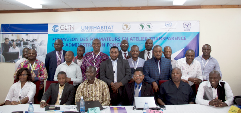
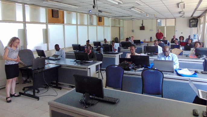
The Regional Centre for Mapping of Resources for Development (RCMRD) and IGAD Climate Prediction and Applications Centre (ICPAC) within the framework of the Monitoring for Environment and Security in Africa (MESA) held a two-week thematic training for forest monitoring and land degradation assessment from 29th February to 11th March, 2016 in Nairobi, Kenya. The participants were drawn from 10 African countries in the Eastern African region. The forest monitoring and land degradation assessment training covered the development of the forest monitoring and land degradation services and products using satellite data and is incorporating the use of Geographic Information System and Remote Sensing Opensource software applications in developing the MESA forest monitoring services and products.

screen-shot-2016-10-03-at-13-52-18

Read more about MESA here http://www.rcmrd.org/mesa/

RCMRD becomes the 1st Organization in Africa to Provide Sentinel 2 Data for 10 Countries

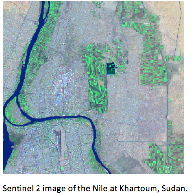
The Regional Centre for Mapping of Resources for Development (RCMRD) and IGAD Climate Prediction and Applications Centre (ICPAC) within the framework of the Monitoring for Environment and Security in Africa (MESA) is holding a two-week thematic training for forest monitoring and land degradation assessment. In this context, participants from 10 countries got the opportunity to process Sentinel 2 data for their own regions. The Sentinel 2 satellite is financed by the European Union and launched and operated by the European Space Agency. The Sentinel 2 satellite mission provides data at 10m and 20m for land cover mapping in different spectral channels, 13 in all. It currently has a revisit period of 10 days. When Sentinel 2 satellite will be joined by Sentinel 2b in 2017, the revisit period will be every 5 days.

The European Commission’s Joint Research Centre (JRC), with whom RCMRD has a long standing cooperation and a Memorandum of Understanding, provided the technical support to process the data. JRC provided training on their open-source image processing software, IMPACT. The software, originally designed to provide a rapid processing of Landsat data, has been modified to process Sentinel 2 data from the raw data files provided on the ESA web site, through to classified images, which can be used in GIS. Given the restrictions of data download in a number of countries, Sentinel data is difficult to access, with data files of close to 6 Gb. JRC aims to set up an online user interface where partner countries can select images and order a ‘light’ version so as to reduce downloading time. The interface will contain data held both at JRC and RCMRD.

screen-shot-2016-10-03-at-13-52-35


Sentinel 2 images of Sudan being processing in the JRC IMPACT tool.

screen-shot-2016-10-03-at-13-52-45


http://www.rcmrd.org/rcmrd-becomes-the-1st-organization-in-africa-to-provide-sentinel-2-data-for-10-countries/

Regional Training of Trainers Programme on Integration of Land Tenure Monitoring in Development Projects Using Geo-Spatial Technologies

There is an inextricable link between land access, tenure security on one hand, and investment, income/food security on the other. This is one key transformation that the 2030 Development Agenda needs to achieve. Many of the poorest and food insecure groups are those with the most insecure land tenure rights, including the female headed households, orphans, migrant farm workers, peri-urban slum dwellers, and the internally displaced persons.

The Regional Centre for Mapping of Resources for Development (RCMRD) will host the regional Training of Trainers Programme on Integration of Land Tenure Monitoring in Development Projects Using Geo-Spatial Technologies from 3rd to 13th April, 2016. The Training of Trainers workshop is set to track whether investments in land tenure interventions are effective in the framework of creating advocacy for promoting investments to strengthen tenure security.

The overall objective of this Training of Trainers is to strengthen skills and knowledge land tenure monitoring and evaluation using Opensource geo-spatial technologies. The training will equip up stream change agents with relevant knowledge about land tenure monitoring data collection, storage, analysis and reporting systems.

screen-shot-2016-10-03-at-13-52-58


http://www.rcmrd.org/wp-content/uploads/2016/03/ToT_Call-For-Applications_2016.pdf


RCMRD Hosts the Open Source Geospatial Data Processing For REDD+ Applications Workshop

The “Open source Geospatial data processing for REDD+ Applications” workshop began at the Regional Centre for Mapping of Resources for Development (RCMRD) and was officially opened by Dr. Hussein Farah, the Director General of RCMRD.

screen-shot-2016-10-03-at-13-53-09

The technical training workshop is being conducted as part of a NASA-SERVIR funded project “Forest carbon assessment for REDD+ in the East Africa SERVIR region.” The participants will be introduced to data processing with the “R” software package, focusing on processing spatial data for forest and carbon monitoring and mapping in the context of REDD+.Recently, “R” has been important in providing many spatial data processing functions that allows for the access of advanced data processing algorithms often unavailable in any other software.At the conclusion of the workshop, participants will know the importance of using “R” and many of the spatial data processing functions, and will be able to learn more as new capabilities are added to the changing “R” data processing archive.

Kibuga Dominic and Asiimwe Eden Sarah, participants representing Uganda Bureau of Statistics (UBOS), are expecting to have the capacity to use “R” for Statistical analysis and geospatial data processing after the workshop. On the other hand, Abel Siampale from the Forestry Department, Zambia, is looking forward to learning the application of “R”, interacting with participants from different areas, and sharing the gained skills.

Open principles in geoeducation (open educational resources, free and open software, open data, open standards, etc.) are key for true empowerment of staff and students globally and for making geospatial education and opportunities accessible to all. Access to quality education and opportunities is key for getting rid of extreme poverty and enabling broadly shared prosperity for all. It is very important to have open source GIS and standards-based solutions (OGC, ISO TC 211) to achieve widespread application of geotools at a grassroots level, especially in developing countries. Open source GIS provides accessibility, low cost solutions, and lowers the entry barriers for the use of geospatial technologies for all.

AgriGIS Workshop and Think Tank

The University of Nottingham, the Regional Centre for Mapping of Resources for Development (RCMRD) , the Global Open Data for Agriculture and Nutrition (GODAN) [3] and Crops for the Future (CFF)  are pleased to announce the  AgriGIS Workshop and Think Tank meetings to be held RCMRD, Nairobi, October 27-28, 2016.

Details at https://www.nottingham.ac.uk/grace/events/eventsarticles/agrigis-workshop-and-think-tank-kenya.aspx 


On behalf of the Geo4All community, we thank  Dr. Hussein Omar Farah (Director General, RCMRD )and all colleagues at the Regional Centre for Mapping of Resources for Development in Nairobi for their help and for their contributions to the Geo4All initiative globally.

Best wishes,

Suchith Anand