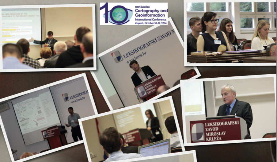
It is my great pleasure to introduce our colleagues at OSGL of the Faculty of Geodesy, University of Zagreb, Croatia as our “Geo4All” lab of the month. I thank Dražen Tutić for providing all the background information and photos of the activities of the lab which is summarized in this article. I first met Dražen Tutić , Miljenko Lapaine and other colleagues when I visited Zagreb for the 10th Jubilee Cartography and Geoinformation International conference for delivering a keynote presentation on “The Importance of Openness in Geospatial Education and Research”. That visit helped me to get a good understanding of the amazing work Dražen and colleagues were doing.
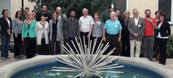 Group photo with University of Zagreb colleagues
The University of Zagreb (http://www.unizg.hr/ ) (established in 1669) is the oldest and biggest university in South-Eastern Europe. It consists of 33 faculties, academies and the Centre for Croatian Studies. With its comprehensive programmes and over 72,000 students it is the strongest teaching institution in Croatia.
The Faculty of Geodesy, University of Zagreb (http://www.geof.unizg.hr ) is a public institution of higher education organizing and carrying out university studies, scientific and highly professional work in the scientific field of geodesy. The Faculty exists, as self-standing institution, since 1962. It is organized in three institutes (Geomatics, Cartography and Photogrammetry, Applied Geodesy), two laboratories (Laboratory for Measurements and Measuring Technology and Open Source Geospatial Laboratory) and the Observatory Hvar. The Faculty is the leading academic institution in geodesy and geoinformatics in Croatia and the region. It offers undergraduate, graduate, doctoral and specialist postgraduate study in geodesy and geoinformatics. Some 500 students are studying at the Faculty.
Dražen Tutić kindly send us the background information and activities of the lab which is summarized below .
“Open Source Geospatial Lab (OSGL) was officially established in January 2014 with the goal to follow the mission and vision of the GeoForAll initiative, which we are trying to achieve by better structuring and fostering research, education and professional work in the development and application of open geospatial technologies and geoinformation. Details at http://www.geof.unizg.hr/mod/book/view.php?id=1165
The Faculty of Geodesy introduced substantial number of geoinformatics courses and modules to the study of geodesy with the introduction of Bologna process in 2005. At first, students and teaching activities were supported by commercial software, but after more than 10 years, majority of teaching and student work is done using open source geospatial technologies such as QGIS, PostgreSQL+PostGIS, GRASS, PROJ4, Mapserver and OpenLayers. Students are also introduced to programming in several programming languages and are encouraged to solve problems by writing their own code.Nevertheless, we think that it is necessary to put more effort into bringing closer the open source technologies to students and teachers, as well as to our partners. So that was the primary activity of OSGL at the beginning.
Agenda of the OSGL is as follows:
* to support geospatial research and excellence in education through application of open source tools and data,
* to foster collaboration of Faculty professionals and scientists with national and international professionals and scientists,
* to educate on open source tools and data through study programmes, lifelong learning and other non-formal learning (including e-learning)
* to bring closer related professions and disciplines which can contribute to modern technologies in support spatial decision-making processes.
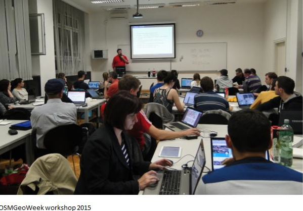
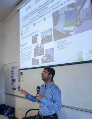
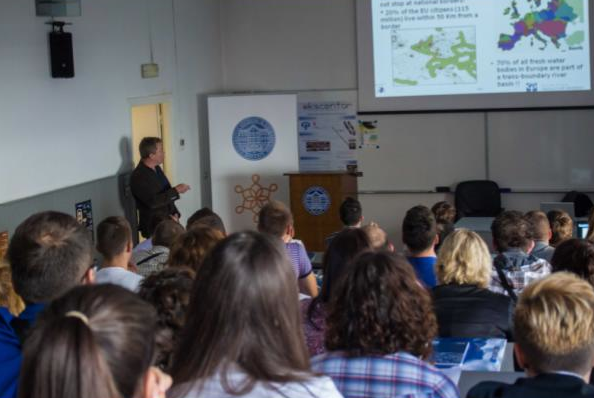
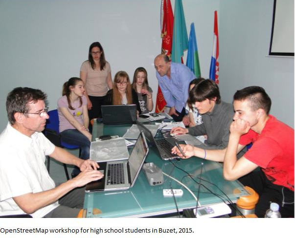
Among the education materials we can highlight custom training materials for Linux and OSGeo programs published on the e-learning system, and expanded and localised training materials of QGIS GeoAcademy, module 104, Cartography using QGIS for Croatia and Montenegro. In collaboration with Students Council of Faculty of Geodesy and Croatian Cartographic Society we also organize or participate in educational events, e.g. OpenStreetMap Workshops for high school students or Humanitarian OpenStreetMap Team tasks. However, the special notion deserves students seminar Roles of Geodesy and Geoinformation in Sustainable Development where Suchith Anand participated as keynote speaker.
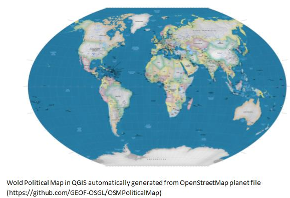
Our open source developing efforts are mainly in the field of our expertise, i.e. cartography and map projections. We are active in PROJ4 project and we published two QGIS plugins (for cartographic line generalisation and visualisation of map projection distortions). Latest project which we found challenging but also rewarding is automatic generation of custom small scale maps from OpenStreetMap data. With an example of automatic generation of wall world political map it has been shown that open data and open technologies can be used for the most challenging tasks in cartography, namely cartographic generalisation. More info on our projects can be found on Github (https://github.com/GEOF-OSGL ).
There is a lot work to be done in the future, especially in capacity building for open source tools and data in Croatia. Joining the GeoForAll initiative made our efforts easier and recognisable, with clear vision for our next steps.”
OSGL Croatia welcomes collaborations from all interested. Please email Dražen at dtutic@geof.hr
We thank Drazen and all colleagues and students at OSGL in Croatia for their contributions to the Geo4All initiative and look forward to working and building more collaborations with all interested on this education mission.
Best wishes,
Suchith Anand


