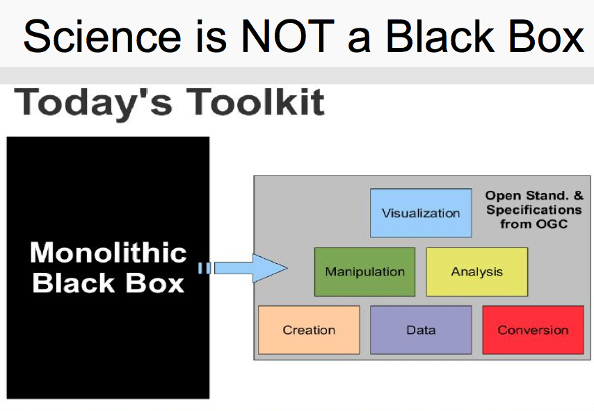
Thanks to all who participated at the Research Data Alliance Geospatial IG meetings in Barcelona last week to keep building ideas for the global research agenda for Geospatial Data Science [1],[2],3]. It was a pleasure meeting and discussing ideas with all.
Overview slides at https://www.rd-alliance.org/sites/default/files/attachment/GeospatialIG__P9.pdf
 We had a very packed agenda ,so could not get time for detailed discussions, so i would like to get more ideas and discussions by email on all topics esp. on “The Rise of OpenStreetMap as a World Mapping Agency” [4].
How will OSM look in 2030?
* What are the opportunities?
* What are the barriers?
* How will it contribute to economic development in the poorest regions of our world?
* What role will digital natives play in widening participation, diversity, inclusiveness especially for the poorest people (who have less access to costly technologies)?
The full list of slides of all presentations are at https://www.rd-alliance.org/ig-geospatial-rda-9th-plenary-meeting
Best wishes,
Suchith
[1] http://www.geoconnexion.com/uploads/publication_pdfs/uk_v15i18-058-059-Op951AF3.pdf
[2] http://www.mdpi.com/journal/ijgi/special_issues/science-applications
[4] https://opensourcegeospatial.icaci.org/2017/03/the-rise-of-openstreetmap-as-a-world-mapping-agency/

