SMARTIES are part of the UK Prime Minister’s Ministerial Delegation to India for the TECH Summit 2016

SMARTIES will be represented strongly at the India-UK TECH Summit 2016 on 7-9 November 2016 in New Delhi.  Professor Michele Clarke (Associate Pro Vice Chancellor, University of Nottingham) and our other SMARTIES colleagues will be part of the UK Prime Minister’s Ministerial Delegation to India for the India-UK TECH Summit 2016  . Michele Clarke will also be presenting these ideas at the India-UK TECH Summit 2016 and take our work forward. Well done SMARTIES ☺

TECH Summit 2016 brings together the most exciting thought leaders, businesses, educational institutions and innovators to connect and explore the future of India-UK collaboration. Details at http://www.ciitechknow.com/india/index.html

The full list of excellent speakers including Theresa May (Prime Minister, United Kingdom) are at http://www.ciitechknow.com/india/speakers.html

The RCUK funded SMARt ciTIES  is lead by Professor Michele Clarke (University of Nottingham) and Dr. Ajith Kaliyath (National Institute of Urban Affairs, India) brings together a consortium of multidisciplinary, international researchers with expertise spanning education and social science, cultural heritage and urban planning, science and engineering, ecology and environmental sciences and information technology to develop new collaborative solutions to the multi-layered challenges of rapid urbanisation. See more details of our kickoff meeting at New Delhi last month at https://opensourcegeospatial.icaci.org/2016/10/reflections-from-the-kickoff-workshop-of-the-uk-india-joint-network-on-sustainable-cities-and-urbanisation-in-india/

Award for the Biggest donors of GIS software goes to all our Students Worldwide

Dear colleagues,

Since GeoForAll was started, i had the opportunity to visit all continents (except Antartica!) spreading our ideas and meeting and learning from our amazing colleagues globally. The biggest personal happiness for me was getting the opportunity to meet our amazing colleagues and students worldwide all working together as a “global brain” for ensuring that we take steps to bring down the digital divide and ensuring that quality education opportunities are available for all.

Our students worldwide are doing a great contribution by a genius work that they are doing now silently as the biggest donors of GIS software. They have been actively sharing software and educational materials to everyone by actively forwarding the urls of free and open source software like  QGIS download from http://qgis.org/en/site/   (there is also lot of documentation for learning at http://www.qgis.org/en/docs/index.html    and  free online materails produced by GeoForAll colleagues at GeoAcademy with comprehensive QGIS tutorials  at http://spatialquerylab.com/foss4g-academy-curriculum/    and also the freely available training materials at http://www.geoforall.org/training

screen-shot-2016-10-14-at-11-35-18

Talking with students in India and many other developing countries (where internet is relatively expensive) i understand that they all (esp.  in developing countries) download QGIS  usually from their university network (where there is good internet connection) and  then share it in USBs.  So in fact one student who downloads one copy of QGIS is making thousands of copies later.   So scale of expansion and impact is huge. I am so impressed by innovative thinking of  digital natives. No problem is big for them. In areas where internet is expensive  they come up with simple solution of downloading QGIS in thier university networks (where they have good connection) and then sharing QGIS in USBs to thier fellow students. The values of sharing and caring that  our current students globally have are more important than thier technical skills or knowledge and they inspire me every second. They are all true global citizens. Knowledge without compassion is useless. Caring and sharing are important values in education  . Details of why this is important at https://opensourcegeospatial.icaci.org/2016/07/sharing-is-caring-why-openness-is-key-for-true-empowerment-and-sustainability/

I am also very happy that free and open source software like QGIS havenow fully  empowered  our students and by sharing the software ,  students are now the biggest donors of GIS software. They are breaking down the artifical barriers created by proprietary GIS vendors and rapidly bringing down the walls of digital divide.  I was joking to some students in India that if they were a proprietary GIS vendor they would be doing big press releases that they are now donating 100 billion USD!

This week i was at Nairobi and had the opportunity to meet and discuss ideas with many government organisations , educators and students in Africa. I was also invited by colleagues at Kenyatta University to deliver an open lecture on “Open Geospatial Science”  to staff and students on Friday evening after my main meetings just before i left Kenya . Kenyatta University  also offers Geo-related courses.   There were also students from Technical University of Kenya, Nairobi University, Jomo Kenyatta University etc  who came for my open lecture . The students also live streamed the lecture for the benifit of others worldwide . It was a pleasure to share ideas with excellent students from different universities and i learned a lot from them . I was really impressed by the scientific abilities of the students but more importantly thier interest and dedication for contributing for the betterment of  others. I really see the potential for all these students to be the future leaders in their respective professions.  For decades students , SMEs, startups , government organisations etc in Africa and the developing world did not benefit from the opportunities of geospatial science because of high GIS software costs but now they themselves are changing it so everyone benefits from the opportunities of digital economy and they are rapidly bringing down the artifical barriers created by proprietary GIS vendors. The academics and students are now writing the rules of the game not any vendor.

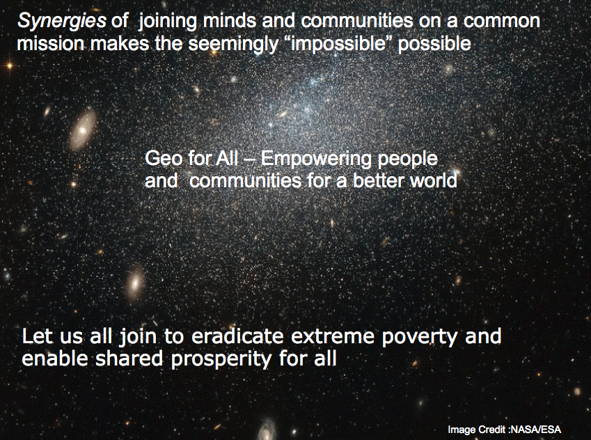
GeoForAll’s mission is to make geospatial education opportunities open to all and to make sure we all work together to create global citizens contributing to the betterment of humanity.  I thank   all teachers and  students in Africa and worldwide  for your dedication and efforts. We are proud to honour you all as the Biggest donors of GIS software.

Best wishes,

Suchith

Dr. Suchith Anand
http://www.geoforall.org/

Geo for All – Building and expanding Open Geospatial Science

Please share Open Principles in Education ideas and philosophy at all Geo events (Geography Awareness Week, OSM Geo week , GIS day etc )

Dear colleague,

May i request all who are taking part in various Geo events (Geography Awareness Week, OSM Geo Week, GIS day etc ) to also make use of the opportunity to promote Open Principles in GeoEducation by sharing information on GeoForAll and welcoming those interested to be part of this. Please give away OSGeo Live DVDs  and share GeoForAll ideas  at these events.

Screen Shot 2016-07-02 at 05.56.42

Open principles in geoeducation (open educational resources, free and open software, open data, open standards etc) are key for  true empowerment of staff and students globally and making geospatial education and opportunities accessible to all [1] . We look forward to working and building collaborations with all interested in this education mission. Access to quality education and opportunities is key for getting rid of extreme poverty and enabling broadly shared prosperity for all.

Our ideas are summarized at https://www.youtube.com/watch?v=SmGoC6iFds4

Millions of globally connected minds working together on the common mission of enabling Open Education opportunities for everyone will be key for making these developments possible. An idea whose time has come is the most powerful force in the universe, and the time for “Access to quality education opportunities for everyone” has arrived.

Education + Empowerment = GeoForAll

Happy GIS Day greetings in advance to all…

Best wishes,

Suchith

Dr. Suchith Anand
http://www.geoforall.org/

GeoForAll – Building and expanding Open Geospatial Science

Geography 2050: Envisioning a Sustainable Planet

Dear colleagues,

May i request that the geo community contributes ideas/inputs for the “Geography 2050: Envisioning a Sustainable Planet” [1] organised by the  American Geographical Society .Established in 1851, the American Geographical Society is the oldest professional geographical organization in the United States. It is recognized world-wide as a pioneer in geographical research and education in geography for over 163 years. The mission of AGS is to advance geographic knowledge and the recognition of its importance in the contemporary world. AGS provides leadership to frame the national discussion of the growing importance of geography and geo-spatial tools.

“Geography 2050: Envisioning a Sustainable Planet”    seeks to bring the best minds together to map and shape a future where our ecosystems and vital resources are conserved and sustainably managed for the betterment of humankind and the Earth.

I am requesting  all colleagues to contribute for this important event.  You can contribute your ideas and insights  through email, social media etc  (details below) . For more details contact  Dr. Christopher Tucker (Chair , American Geographical Society) [3].  I am grateful to each and every colleague for their hardwork and dedication for our mission for building a better world and better future for all our future generations.

Best wishes,

Suchith

Dr. Suchith Anand
http://www.geoforall.org/

GeoForAll – Building and expanding Open Geospatial Science

[1] http://www.geography2050.org/
[2] http://americangeo.org/
[3] http://lists.osgeo.org/pipermail/geoforall/2016-October/003199.html

Where is your organisations’s Open Source Report Card?

Google has shared thier annual Open Source Report Card, highlighting thier most popular projects,  statistics and detailing some of the projects they have released in 2016.

https://opensource.googleblog.com/2016/10/google-open-source-report-card.html

I thought it is really good idea and it will be good if more organisations start producing their annual Open Source report cards. So I request all business and government organisations to produce your annual open source report card and we will be pleased to publish it in our Geo4All newsletter. Economic impact of open source software on innovation and the competitiveness of the ICT sector is huge as many studies have shown. Open source is not only a catalyst for business  growth, but also a key driver and enabler of future success for many startups today.

Even properitary GIS vendors are dependent on open source software and libraries for their service delivery so it is important that they acknowledge this and thank the open source and OSGeo community.

Open source software and open data are the backbone  that underpins much of the service delivery across the public, private and consumer sectors of the world economy. 
 Governments, industry ,start-ups are leveraging open source software and open data to accelerate innovation in Geospatial. But more importantly Open Principles are key for true empowerment and sustainability.

https://opensourcegeospatial.icaci.org/2016/07/sharing-is-caring-why-openness-is-key-for-true-empowerment-and-sustainability